


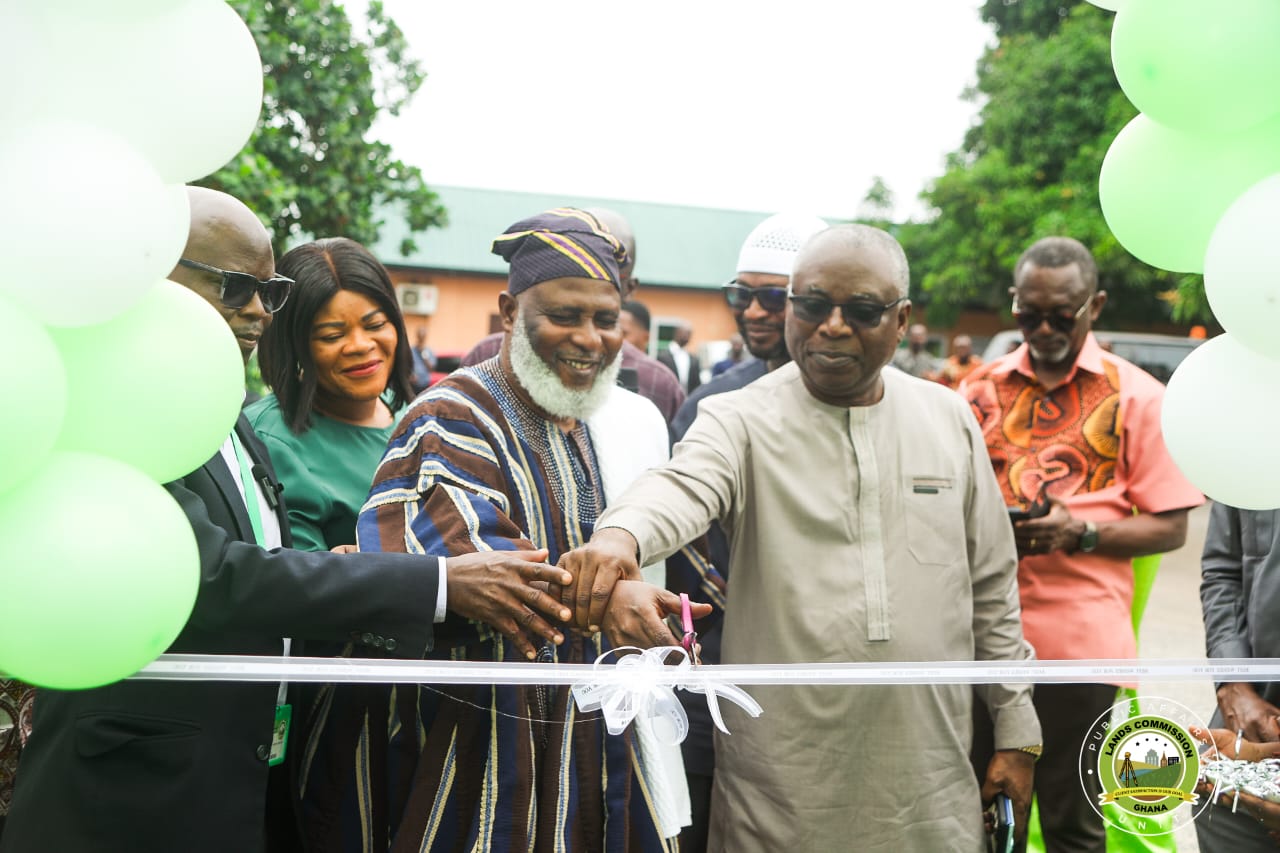
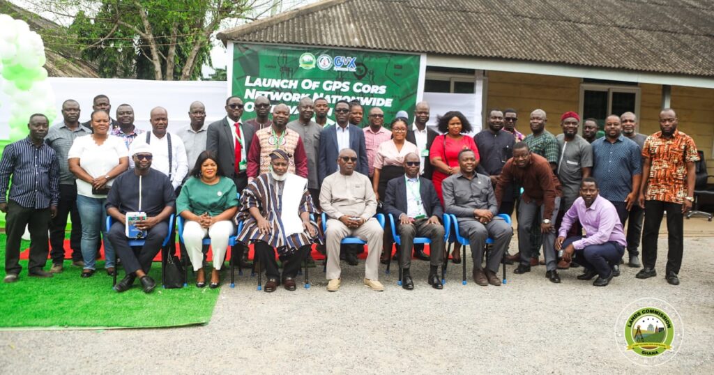
The Lands Commission, through its Survey and Mapping Division (SMD), in collaboration with the Licensed Surveyors Association of Ghana (LiSAG) and GMX Systems Ghana Limited, has launched a nationwide observation exercise for Ghana’s Global Navigation Satellite System (GNSS) Continuously Operating Reference Station (CORS) Network.
The initiative marks a significant milestone in modernizing the country’s geospatial infrastructure and enhancing land administration.
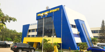
The launch, held at the forecourt of the Commission’s Examination Section, drew licensed surveyors, technical partners, staff, and other key stakeholders.
In his welcome address, Acting Director of SMD, Surv. Naa Seidu Zakaria, explained that the exercise seeks to integrate more than 60 newly established CORS stations into the national geodetic framework, consolidating Ghana’s Grid Coordinate System.
He further revealed that the partners plan to expand the network to 100 stations by year-end.
“This is about building a stronger, smarter, and more connected Ghana,” he said. “With a modern CORS network, surveyors and spatial data users will enjoy 24/7 access to high-precision data, improved efficiency, and cost savings, while aligning Ghana with international geospatial standards.”

On behalf of LiSAG, President Surv. Ing. Dr. Samuel Larbi Darko described the project as a “national game-changer.” He highlighted its benefits for accurate land records, agriculture, disaster management, infrastructure development, and revenue generation for the Lands Commission.
“The CORS Network is not just a project. It is a living system—accessible, accurate, and sustainable,” he said, reaffirming LiSAG’s commitment to working with the Commission and GMX to sustain the system and build surveyor capacity nationwide.

Earlier, Surv. Eric Okantey, Deputy Director of SMD (Research & Development), outlined the purpose of the nationwide observation, noting that surveyors are already active in the southern sector, occupying 54 stations.
He added that the initiative will make survey work faster, more efficient, and less dependent on heavy equipment.
The observation will be rolled out in three phases—Southern, Middle, and Northern zones—to ensure systematic coverage and data management.

Other speakers, including Surv. Hackman, Head of the Examination Unit, praised the initiative, describing it as transformative for the profession and the nation’s development.
The network is expected to grow into a 100-station nationwide system, providing reliable, real-time geospatial data to support land administration, infrastructure planning, and Ghana’s 24-hour economy vision.


